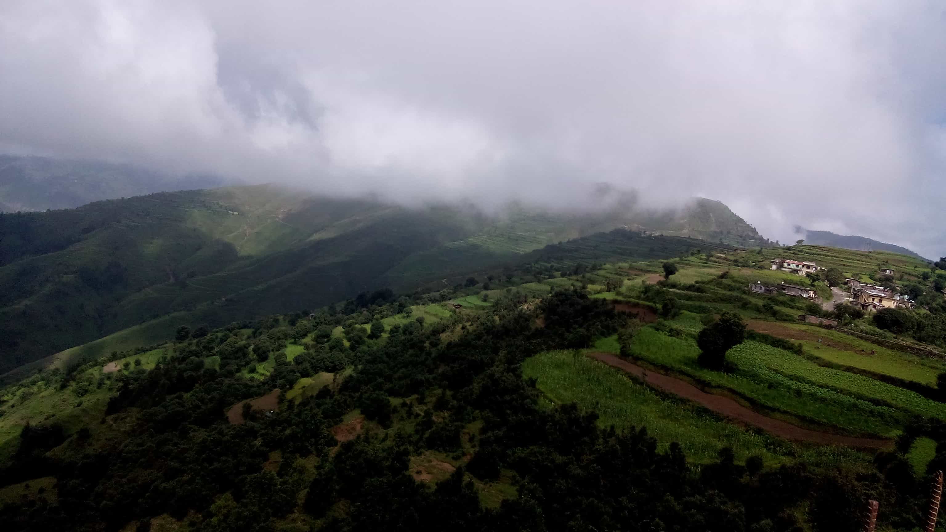
‘A cantonment’ is what a scenic hill station known as Chakrata in Uttarakhand was during the British Raj. This quaint town is elevated at an altitude of 2,118 above sea level. Furthermore, it is situated between the Tons and Yamuna rivers. It was in 1901, that this hill station became a part of the Dehradun district. It is also renowned for its beautiful landscape which comprises of conifers, rhododendrons and oak trees. However, a number of red rhododendrons are more widely available in this region.
Read More: WHY AULI IS A MUST VISIT DESTINATION?
a. How to reach Chakrata ?
[put_wpgm id=125]
Chakrata Map
a. By train:
The closest railway station to this quaint hill station is in Dehradun. The Dehradun Railway Station is well connected to major stations in India. Taxi and bus services are available from this station to Chakrata.
b. By road:
The ideal starting points for Chakrata would be via Rishikesh, Rudraprayag, Devprayag, Dehradun, and Mussoorie.
1.Via Rishikesh:
There are two routes available via NH-7 and Vikasnagar-Chakrata Road which takes 4 hours and 9 minutes and via Vikasnagar-Chakrata Road which takes 4 hours and 12 minutes.
2. Via Rudraprayag:
There are two routes available via NH-7 which takes 7 hours 52 minutes and via NH-7 and Vikasnagar-Chakrata Road which takes 9 hours and 15 minutes.
3. Via Devprayag:
There are two routes available via NH-7 which takes 6 hours 11 minutes and via NH-7 and Mussoorie Road which takes 7 hours and 6 minutes.
4. Via Dehradun:
There are two routes via Ambala – Poanta Sahib – Herbertpur – Dehradun – Rishikesh National Hwy/Chakarata Rd and Vikasnagar-Chakrata Road which takes 2 hour 43 minutes and via Mussoorie Road 3 hours and 50 minutes.
5. Via Mussoorie:
There are two routes available via NH-507 which takes 2 hours and 47 minutes and via Vikasnagar-Chakrata Road which takes 3 hour and 24 minutes.
c. By Air:
The nearest airport is located in Dehradun. The Jolly Grant Airport is located at a distance of 145 kms. This airport is well connected to the major cities in the country. Taxi services are available from this airport to Khirsu.
Climate and the best time to Chakrata:
The climate in Chakrata can range from being hot in summers to being cold during winters with, the temperatures during the summer from March to May ranging from 40 degrees to 15 degrees. The rainfall received during monsoons beginning from June and extending to Khirsu is heavy. While the temperature during winter months that begins in October and ends in February drops to about 6 degrees minimum. The best time to visit this picturesque hill station is from September to April.
Places to Visit Around Chakrata:
There are few spots available in Chakrata which makes it a worth visit hill station. They are as follows:
- Tiger Falls: Is a waterfall that is located about 20 km from Chakrata at an altitude of 312 feet above sea level. It is considered to be the highest direct waterfall in Uttarakhand.
- Budher: Also known as Moila Danda it is a beautiful meadow located at altitude of 2800 meters.
- Kanasar: Is essentially a beautiful meadow which is surrounded by supposedly Asia’s best Deodar tree. It is supposed to be one of the best picnic spots.
- Chilmiri: Is basically a point which provides for magnificent view of sunset.
- Deoban: A spot which provides for picturesque views of the Himalayas.
Interesting Facts:
A temple dedicated to Lord Shiva known as Lakhanmandal is situated in close proximity to this hill station. This shrine is also closely related to the folklore of Pandavas of the Mahabharata. In addition, yet another Shiva temple called Manjhgaon is situated at a distance of 15 km from Chakrata. A rock statue of King Ashoka discovered in 1860 by John Forest is also found over here.
Also Read: WHAT CONNECTS RUSKIN BOND TO MUSSOORIE?
Image Credit: Wikimedia Commons

